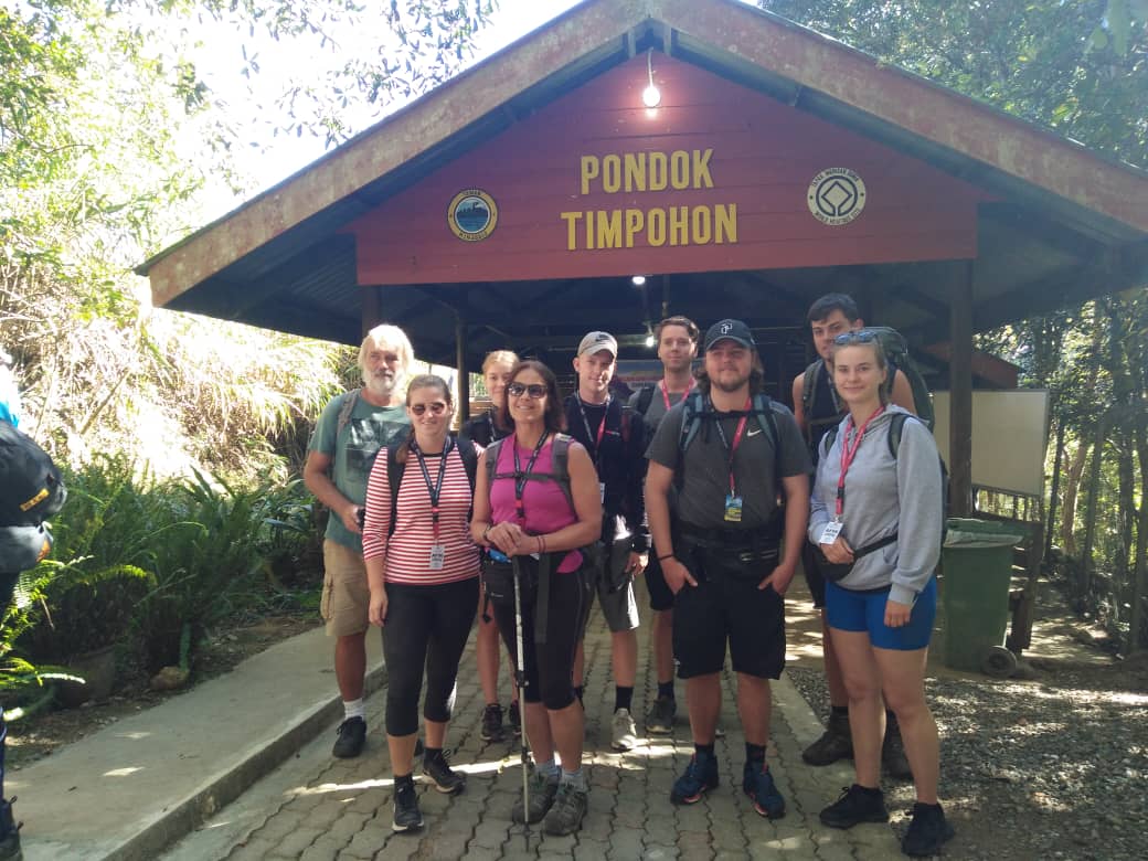
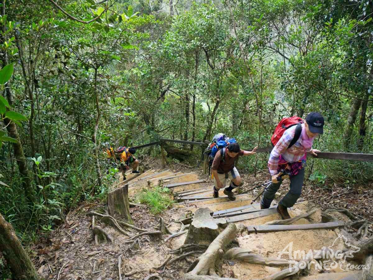
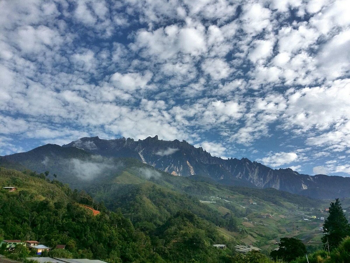
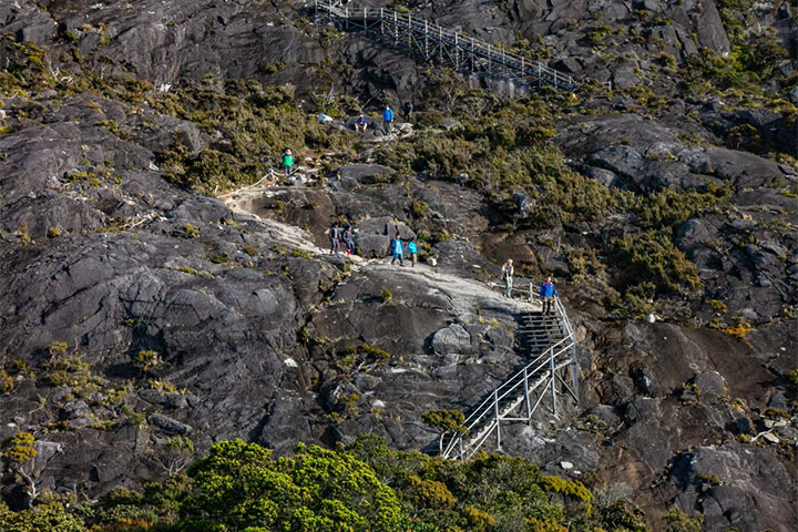
Mount Kinabalu, located in Sabah, Malaysia, is the highest peak in Borneo and a UNESCO World Heritage Site. Standing at 4,095 meters (13,435 feet) above sea level, it offers breathtaking views and unique biodiversity.
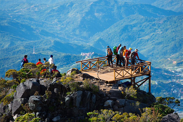
The mountain is known for its diverse ecosystems, from tropical lowland rainforests to alpine meadows, making it a paradise for nature lovers and adventure seekers alike.
A recent botanical survey of the mountain estimated a staggering 5,000 to 6,000 plant species (excluding mosses and liverworts but including ferns), which is more than all of Europe and North America (excluding tropical regions of Mexico) combined. It is therefore one of the world’s most important biological sites.
Use the interactive map below to uncover top experiences and breathtaking views.
The highest peak of Mount Kinabalu, known as Low's Peak, is accessible with good fitness and no special climbing skills. The trek spans 8.8 km along the southern side of the mountain, taking most climbers two days to reach the summit and return, with an overnight stay at huts in Panalaban.
Before June 2015, two trails led to the summit: the Summit trail (via Timpohon Gate) and the Mesilau trail (via Mesilau Gate). Following the 2015 earthquake, the Mesilau trail was closed, and two new trails were constructed by Sabah Parks to replace the damaged sections of the old Summit trail.
The Ranau Trail (1.27 km) was opened to the public on 1st December 2015, followed by the more challenging Kota Belud Trail (1.1 km) on 9th December 2016. Both trails converge at Sayat Sayat and lead to the summit. The Ranau Trail is known as the "tourist-friendly" route, as it is easier and has well-maintained wooden staircases and rock steps.
Climbers start from Timpohon Gate, located near the Kinabalu Park Headquarters at 1,866 meters (6,122 feet). The ascent begins at 9 a.m., and all climbers must be accompanied by a mountain guide.
As climbers progress, the forest transitions from ultramafic vegetation to sub-alpine plants, with shelters like Pondok Paka (3,080 meters; 10,105 feet) along the way. The Paka Cave, despite its name, is a large overhanging boulder that served as a resting spot for early explorers.
Panalaban, located at 3,273 meters (10,738 feet), offers various huts for climbers to rest and recharge before the final push to the summit. The journey from Timpohon Gate to Panalaban typically takes 4 to 6 hours.
The last part of the climb involves scrambling over loose rocks and boulders for about 90 meters before reaching Low's Peak. The ascent from Panalaban usually takes 3 to 4 hours, allowing climbers to catch the sunrise.
After reaching the summit, climbers descend back to their huts at Panalaban for breakfast before continuing down to Timpohon Gate. The descent can be challenging, particularly when it rains, as the route can become slippery. Keep an eye out for the rare Kinabalu Leech and Blue Worm, which appear during wet conditions.